[ad_1]

Google Maps is useful for many areas, but another mapping application has the upper hand here.
The goal of Google Maps is to get you to your destination quickly or in a way that saves fuel. The free app is therefore number one for many drivers. But there are weaknesses in other use cases.
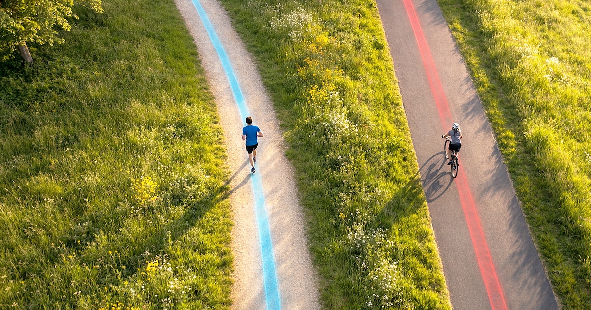
For example, if you go for a ride on your bike or go jogging, you might want to check the distance you covered afterwards. However, such routes rarely lead directly to the destination, but sometimes take detours.
Although there is with Google My Maps an additional tool from the company, but the operation is cumbersome. That’s why we present you with a practical alternative here: On The Go Map. The application also works directly in the browser.
This is how the Maps alternative works

With On The Go Map You can quickly draw your own routes on the map. First, click to set the starting point of the route, which is marked by a green dot. If you don’t want to spend a long time poking around on the map, you can also enter specific addresses in the search field.
After that, all you have to do is keep clicking along the route you have traveled. The line always continues automatically and at the bottom right the application also counts the distance.
If you click next to it, you can undo it using the left arrow. Once points have been set, they can also be touched with the pointer and subsequently moved; You can also add new points even if the route is actually already finished.
At the bottom left, under the mountain symbol, there is also the elevation profile of the route you have traveled. This will show you how many climbs you have completed. It can be surprising how even paths that are perceived as flat actually rise over a long period of time.

There are a number of different transportation methods to choose from: on foot, by bike or in the car. “As the crow flies” can also be drawn on the map to measure the direct distance between two or more points.
The application recognizes most paths, when the pedestrian is selected. The map may not accept the bike for smaller field or forest paths – so you can simply activate the pedestrian while planning and only set the bike at the end.
Keyboard shortcuts are also supported to speed up editing:
- Z = Undo
- Y = Restore
- V = Reverse route
- F = Fit route into screen
- Del = Delete last point
- S = Change map style
- A = Share route
- H = Show help
- Arrow keys = Move map
- + and – = Zoom in and out
- E = Display height profile.
Once the map is ready, you can click on the link symbol in the search field. This will provide you with a link that you can save or share with others. This can also be shortened directly in the application.
[ad_2]